Key Points
- A lot of rain and a depression will affect the whole country, going as far down as Devon, Gloucestershire, Bristol, and Somerset.
- As per weather charts released by the forecasters at WX Charts and quoted by Abigail Neep of Bristol Live, the maximum rainfall is predicted to occur on Friday, October 9, 2026, with the passage of the depression into the eastern parts on Saturday, October 10, 2026.
- The temperature is predicted to fall after the warm period, to a level where there would be snowfall in Scotland, as per The Mirror.
- The Met Office, based in Exeter, has released its forecast between Tuesday, October 6, 2026 and Thursday, October 15, 2026, with a prediction of a variable weather pattern through mid-October when compared to recent good weather.
- As per the Met Office, increased pressure is predicted to bring mostly dry and fresh conditions with cold nights in southern regions, and low pressure passing to the northwest will bring more rain and winds.
- The Met Office forecasters have predicted that temperatures will generally remain around or somewhat above average with possibility of unseasonably warm weather in southern regions.
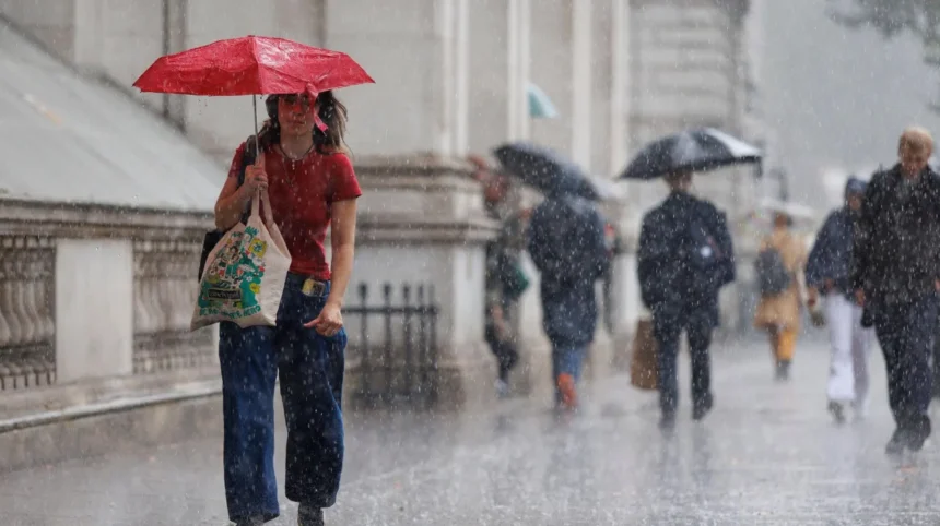
Bristol (Bristol Express News) October 2, 2026 — Residents across Bristol and the wider South West region are bracing for a shift in weather conditions as meteorologists forecast a band of heavy rainfall and a sharp drop in temperatures next week. Following a recent spell of unseasonably warm and fair weather, upcoming meteorological charts indicate that unsettled conditions will move across the country, affecting regions from Devon up to Gloucestershire, Bristol, and Somerset by Friday, October 9, 2026.
When Will Heavy Rain and Cooler Temperatures Hit Bristol and the South West?
As reported by Abigail Neep of Bristol Live, weather maps issued by forecasters at WX Charts show that a band of low pressure will sweep across the United Kingdom, extending as far south as Devon. The soaking is predicted to impact Gloucestershire, Bristol, and Somerset, with the heaviest downpours concentrated on Friday, October 9, 2026. Furthermore, as reported by Abigail Neep of Bristol Live, citing maps from WX Charts, this low-pressure band is expected to continue moving eastwards into Saturday, October 10, 2026.
Alongside the wet weather, temperatures are expected to decline significantly following a recent balmy period. According to reporting by Abigail Neep of Bristol Live referencing information from The Mirror, the incoming cold snap will be severe enough to produce snow in parts of Scotland.
What is the Met Office Forecast for Mid-October 2026?
The Exeter-based Met Office has released its official UK outlook covering Tuesday, October 6 through Thursday, October 15, 2026. As reported by Abigail Neep of Bristol Live, the meteorological service predicts “changeable weather patterns” through the middle of October, contrasting sharply with the stable and fair weather experienced in recent days.
Detailing the anticipated progression of weather systems, the Met Office stated, as reported by Abigail Neep of Bristol Live:
“A band of cloud and increasingly patchy rain will likely come south early in the period with a ridge of high pressure then bringing a spell of mostly dry and fresher conditions, some chilly nights possible.”
The Met Office further elaborated on the broader regional divide across the UK during this period. As reported by Abigail Neep of Bristol Live, the national forecasting agency stated:
“Broadly changeable weather patterns look to continue through to the middle of October with areas of low pressure most likely to pass to the northwest of the UK with higher pressure across the south.”
Consequently, southern regions such as Bristol can expect more dry weather overall, while northern and northwestern areas will bear the brunt of further rain and strong winds. Addressing overall temperature trends, the Met Office noted, as reported by Abigail Neep of Bristol Live:
“Temperatures close to or rather above average on the whole, but still scope for some unseasonably warm weather across the south.”
Background of the Particular Development
The meteorological shift anticipated for early to mid-October 2026 follows a period of notable unseasonably warm and stable weather across southern England. Autumn transitions in the United Kingdom are frequently characterized by the interaction between Atlantic low-pressure systems—often driven by the jet stream—and high-pressure ridges extending from the continent or the Azores.
During late September and early October 2026, prolonged spells of settled conditions allowed temperatures to remain high for the time of year. However, meteorological forecasting models, including those from WX Charts and the Met Office, regularly identify shifts as polar maritime air masses descend, bringing atmospheric instability, dipping temperatures, and concentrated bands of rainfall across western and southern counties.
Prediction
This incoming weather shift is expected to have notable operational and lifestyle implications for residents, commuters, and local businesses in Bristol and the surrounding South West region. The transition from balmy, dry days to targeted heavy rainfall on Friday, October 9, 2026, alongside fresher and potentially chilly nights, will require adjustments in daily planning, particularly for outdoor industries, transport networks, and agriculture.
While higher pressure residing across the south offers a buffer against continuous downpours compared to the stormier northwest, localized surface water flooding during the peak rainfall on October 9 could cause temporary disruption to morning and evening commutes. Furthermore, the drop in ambient temperatures will likely prompt an increase in domestic energy usage as households adapt to cooler autumnal conditions after weeks of unseasonable warmth.