Key Points
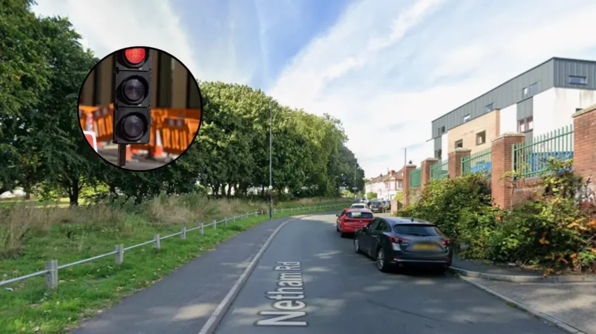
- Project Scope: The council of Bristol is beginning an extensive 10-12 weeks project to refurbish traffic lights at the junction of Netham Road that connects Feeder Road over Netham Lock near Redfield.
- Start Date and Duration of the Project: This project will start on Monday, 21 September, and will run for about three months.
- Traffic Regulation Plan: During the project, there will be temporary multi-way traffic signals and lane closures leading to delays for local commuters.
- Pedestrian and Cycling Improvements: Modern safety standards will be implemented, whereby there will be new pedestrian crossing on both bridges on Netham Road for safety and easier access along River Avon Trail.
- Night Closures for Full Resurfacing: Near the end of the refurbishment, there will be night closure of the whole junction for full resurfacing of the roads from 8:00 pm to 6:00 am, with diversion signs in place.
- Broader Traffic Details: There are complications in the surrounding traffic because of the East Bristol Liveable Neighbourhood (EBLN).
East Bristol (Bristol Express News) September 1, 2026 – Major traffic disruption is anticipated across East Bristol as municipal engineers prepare to undertake a complex, three-month traffic light replacement project at a critical local bottleneck.
- Key Points
- Why Is Bristol City Council Replacing the Traffic Signals at Netham Lock?
- How Will the Upgrade Works Impact Local Traffic and Commuters?
- How Do Surrounding Road Restrictions Compound the Expected Gridlock?
- Background of the Particular Development
- Prediction: How This Development Can Affect Motorists, Local Businesses, and Residents
As reported by Angus McIntyre of Bristol Live, work to update the ageing traffic signals at the busy junction connecting Netham Road with Feeder Road, located directly over Netham Lock near Redfield, is scheduled to commence on Monday, 21 September. According to official statements released by Bristol City Council, the existing signal infrastructure has become severely degraded through age and is at significant risk of total operational failure if not replaced.
Why Is Bristol City Council Replacing the Traffic Signals at Netham Lock?
According to a spokesperson for Bristol City Council, the refurbishment project forms a core component of the local authority’s city-wide traffic signal maintenance and modernization programme. The primary goal of the scheme is to swap out failing equipment and bring the surrounding junction up to contemporary safety standards.
Beyond standard signal replacement, the project includes structural upgrades to active travel options. As stated by Bristol City Council representatives in a public press release, contractors will install brand-new pedestrian crossings on Netham Road across the two bridges spanning the waterway. Local transport planners state that these additions are designed to make it markedly safer for pedestrians and cyclists to navigate the junction and access the River Avon Trail, a major non-motorised transit corridor stretching from Pill in North Somerset to Pulteney Bridge in Bath.
How Will the Upgrade Works Impact Local Traffic and Commuters?
As highlighted by Angus McIntyre of Bristol Live, motorists should prepare for notable journey delays, as traffic throughput will be heavily restricted for the duration of the project. Council engineers confirmed that temporary traffic signals and rolling lane closures will remain active at the junction for 10 to 12 weeks.
In an official public briefing, Bristol City Council advised drivers to actively seek alternative travel routes or alter their travel times where possible while engineering work takes place. Motorised traffic will experience reduced capacity, though municipal officials confirmed that full access for pedestrians and cyclists will be strictly maintained throughout the daytime and peak operating hours.
Towards the final stages of the three-month window, the junction will undergo full overnight closures between 8:00 pm and 6:00 am to allow highway maintenance teams to complete road resurfacing. Council authorities confirmed that exact closure dates will be publicised nearer to completion, with temporary diversion signage erected to guide night-time traffic around the lock.
How Do Surrounding Road Restrictions Compound the Expected Gridlock?
As noted by Angus McIntyre of Bristol Live, the practical options for drivers seeking alternative routes around the Netham Lock works are heavily constrained by existing traffic management schemes in the surrounding area. The immediate geographic alternative routes run directly through the East Bristol Liveable Neighbourhood (EBLN) zone.
The EBLN project, which was voted to be made permanent by city councillors earlier this summer, features a series of modal filters, one-way systems, and bus gates that prevent drivers from cutting through residential side streets. With these surrounding bypasses restricted to general traffic, local motorists attempting to avoid the Netham Road and Feeder Road temporary lights will face limited alternative arterial choices, increasing the likelihood of congestion along major boundary roads such as Church Road and St Philip’s Causeway.
Local community friction surrounding broader traffic routing remains active. As reported by Bristol Live, anti-EBLN campaigner Melissa Topping has established a fundraising campaign aiming to mount a legal challenge against the permanent liveable neighbourhood restrictions, a campaign that has amassed over £3,500 in public donations to date.
Despite the anticipated disruption, local authority representatives expressed appreciation for public cooperation ahead of the project launch, stating that the council thanks residents, business owners, and visitors for their patience while essential highway infrastructure is secured for the long term.
Background of the Particular Development
The upcoming works at Netham Lock represent a intersection of two major infrastructure strategies managed by Bristol City Council: the essential maintenance of structural highway assets and the ongoing overhaul of urban active travel routes.
The junction connecting Netham Road and Feeder Road serves as a key link crossing the Feeder Canal and the River Avon, connecting Redfield and St George to the industrial and commercial zones along Feeder Road and St Philip’s Marsh. The traffic signal equipment currently in place at Netham Lock has reached the end of its design life, leaving the junction susceptible to electrical faults, signal outages, and safety compliance gaps. Under the council’s ongoing asset management framework, traffic light equipment across the city is audited systematically to prevent unscheduled failures that could cause sudden gridlock.
Simultaneously, the physical design of the junction has historically presented challenges for non-motorised users. The presence of narrow bridge crossings over Netham Lock meant that footpaths were constrained and crossing facilities were minimal. Incorporating pedestrian crossings into this maintenance project aligns with the council’s local transport strategy, which mandates that any major signal replacement project must upgrade surrounding active travel infrastructure to support walking, wheeling, and cycling links—in this case, connecting urban communities directly to the River Avon Trail.
This engineering effort also unfolding alongside the formalisation of the East Bristol Liveable Neighbourhood trial. Implemented to reduce cut-through traffic, clean up residential air quality, and encourage active travel, the EBLN has reshaped vehicle movement across Redfield, Barton Hill, and St George. Because modal filters and bus gates now restrict traffic on inner residential streets, primary arterial routes and boundary junctions—such as Netham Road and Feeder Road—carry a higher proportion of local vehicle movements, making the operational efficiency of their signal systems critical to the overall network.
Explore More Local Bristol News
Avian Botulism Warning Issued Around Bristol Harbour 2026
Look Back at Major Outdoor Summer Events Across Bristol in 2026
Prediction: How This Development Can Affect Motorists, Local Businesses, and Residents
The three-month upgrade at the Netham Road and Feeder Road junction is expected to create temporary operational friction alongside potential long-term benefits across several key local groups.
- Motorists and Commercial Drivers: Commuters using Feeder Road as an alternative to Church Road or St Philip’s Causeway will encounter significant peak-hour delays due to single-lane temporary traffic management. Because adjacent residential bypass routes are restricted under EBLN rules, commercial traffic and hauliers servicing the Feeder Road industrial estate will face increased transit times and fuel costs. Night-time haulage operations will also need to adjust schedules during the late-stage overnight closures. Once completed, however, drivers should experience fewer unexpected delays caused by equipment breakdowns or traffic signal faults.
- Local Businesses and Freight Operations: Trade businesses operating along Feeder Road and Netham Road may experience reduced spontaneous footfall and customer visits due to traffic congestion. Service delivery schedules, tradespeople, and courier networks operating across East Bristol will likely see increased job completion times, forcing businesses to adjust delivery windows and dispatch strategies throughout the autumn months.
- Pedestrians, Cyclists, and Active Travel Users: While non-motorised users will need to navigate temporary barriers and construction zones during the 10-to-12-week construction window, this group stands to gain the most substantial long-term benefit. The addition of dedicated pedestrian crossings across the two bridges will resolve a historic safety issue at Netham Lock, providing safer crossing points for leisure walkers, local commuters, and users of the River Avon Trail.
- Residents of Surrounding Neighbourhoods: Residents living directly on Netham Road and adjacent streets will experience temporary construction noise, visual disruption, and potential tailbacks outside residential properties. Additionally, peripheral streets surrounding the closure zone may see localized increases in traffic as drivers attempt to find routes around the signal controls, potentially heightening community discussions regarding traffic distribution across East Bristol.