Key Points:
- The Bristol City Council has declared its intentions to create the city’s first “Red Route” in the London style, which involves double red lines where it is forbidden for motorists to stop at all times, including temporary stops to drop off passengers and unload goods.
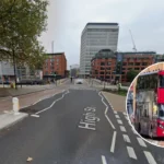
- According to Tristan Cork, Chief Reporter for Bristol Live, the new route would involve the major part of A38 road starting from the corner “Welcome to Bedminster” through Bedminster Parade, Bedminster Bridge Roundabout, Redcliff Hill, Redcliffe Roundabout, Redcliffe Street up to Bristol Bridge.
- This project is supposed to resolve the problem of dangerous parking, reduce traffic congestion, and provide an easier ride for buses between the city centre and South Bristol.
- Camera enforcement will be used together with dedicated and signposted loading bays to enable restricted access periods to the local community and residents.
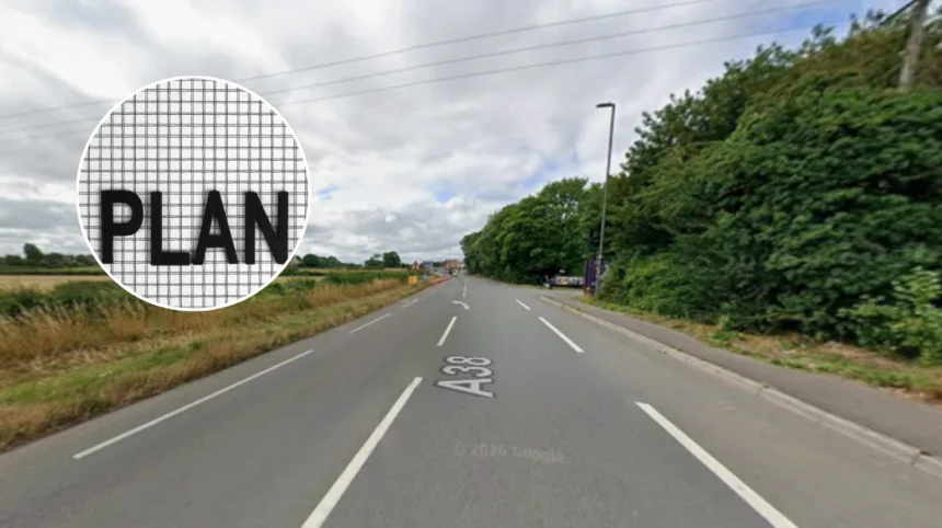
- This plan is part of the first part of an overall vision for the city center that was presented 18 months ago and could possibly result in the future building of a tramway.
- Funding for these two schemes will come from the UK government through the City Region Sustainable Transport Settlement under the West of England Mayoral Combined Authority.
- There is currently a survey being conducted through the Bristol City Council website until the end of October, together with a community drop-in event set on September 30, 3pm to 6pm at Bedminster Library.
Bristol (Bristol Express News) September 21, 2026 — Motorists travelling through key corridors in Bristol face significant changes to parking and stopping rules as the local authority moves forward with plans to implement the city’s inaugural London-style “Red Route”. As detailed by Tristan Cork, Chief Reporter of Bristol Live, the development will introduce strict double red lines along a major arterial route, entirely prohibiting drivers from stopping for any duration, whether for passenger drop-offs or quick unloads.
What is the proposed route for Bristol’s first Red Route?
The designated corridor spans a vital section of the A38, initiating from the “Welcome to Bedminster” corner junction of East Street and Dalby Avenue. According to Tristan Cork of Bristol Live, the route progresses up Bedminster Parade, crosses the Bedminster Bridge Roundabout, ascends Redcliff Hill, navigates the Redcliffe Roundabout, and continues up Redcliff Street towards Victoria Street and Bristol Bridge.
At present, the designated stretch accommodates double yellow lines, bus lanes, on-street parking, and waiting areas. However, broader infrastructure strategies involve establishing a seamless, traffic-free bus route along the corridor alongside a comprehensive reorganisation of the Bedminster Bridges that will ultimately remove the existing roundabout system.
How will the Red Route affect drivers and local businesses?
The implementation of double red lines introduces a higher level of restriction compared to traditional double yellow lines, backed by automated camera enforcement. To accommodate commercial needs, the scheme incorporates newly designated, signposted loading bays. These bays are intended to provide local businesses with access at specified, limited times during the day.
As reported by Tristan Cork of Bristol Live, Cllr Ed Plowden, the chair of the council’s transport committee, stated that “a red route will help keep Bristol on the move, tackling congestion and making bus journeys faster and more reliable.”
Cllr Ed Plowden further added, as noted by Tristan Cork of Bristol Live, that “better public transport gives people a genuine alternative to driving, helping us create a cleaner city, improve air quality and build a better connected transport network that supports residents, businesses and visitors alike.”
Public transport operators have welcomed the development. Doug Claringbold, boss of First West of England, stated, as quoted by Tristan Cork of Bristol Live, that “we welcome measures to help keep bus lanes clear as this enables our services to move more freely across Bristol and the wider region.”
Doug Claringbold added, via Bristol Live reporting by Tristan Cork, that “effective enforcement of parking restrictions is an important part of making sure existing bus priority measures work as intended. Keeping bus lanes clear helps to speed up journey times and support punctuality, which benefits our customers and encourages more people to consider using the bus. This in turn reduces traffic congestion for all road users.”
What are the future plans for the broader transport network?
The Bedminster and Redcliffe section constitutes the first half of a broader city centre Red Route initiative initially unveiled by Bristol City Council 18 months ago. Future phases aim to extend the route across Bristol Bridge, surrounding Castle Park to the top of Union Street, descending Union Street to the Haymarket, navigating the Bearpit, and travelling along Bond Street to the base of the M32.
When the framework was first introduced, councillors indicated that establishing a continuous no-stopping corridor could eventually facilitate the installation of a tram line.
A council spokesperson explained, as documented by Tristan Cork of Bristol Live, that
“the red route has been agreed in principle by Transport and Connectivity Committee, so the survey is focussed on working with businesses and residents along the route to shape and improve how it would work, including loading and parking restrictions.”
The spokesperson also noted, in reporting by Tristan Cork of Bristol Live, that “the introduction of a red route would mean Bristol joins a long list of other towns and cities across the UK with red routes, including London, Birmingham, Manchester, Brighton, Medway, Coventry and Reading.”
Furthermore, the spokesperson confirmed, as published by Tristan Cork of Bristol Live, that
“the Bedminster Bridges and Redcliffe Way schemes are being funded by the UK Government through the City Region Sustainable Transport Settlement, secured by the West of England Mayoral Combined Authority.”
Explore more Bedminster News:
Bristol Indian Restaurant Fined £90,000 in Bedminster 2026
New Miner Memorial Unveiled for Dean Lane Disaster in Bedminster 2026
How can residents and businesses participate in the consultation?
The local authority has launched an online survey via the official Bristol City Council website, which remains open until the end of October. Additionally, a community drop-in session is scheduled to take place at Bedminster Library on Thursday, September 30, operating between 3pm and 6pm to allow local stakeholders to discuss specific parking and loading arrangements with council representatives.
Background of the particular development
The concept of Red Routes originated in London during the early 1990s as a strategic traffic management tool designed to maintain traffic flow on primary arterial roads by strictly prohibiting stopping, parking, and loading during peak operational hours. Over the subsequent decades, the framework was adopted by various metropolitan authorities across the United Kingdom, including Birmingham and Manchester, to combat urban congestion and prioritise public transport networks.
In Bristol, transport planning has increasingly focused on boosting bus reliability and encouraging active and sustainable travel alternatives to private car usage. The current Bedminster and Redcliffe Red Route initiative builds upon long-term regional strategies funded by national grants, specifically the City Region Sustainable Transport Settlement channeled through the West of England Mayoral Combined Authority, aimed at modernising critical transport links and preparing municipal infrastructure for future transit upgrades such as mass transit or tram systems.
The introduction of Bristol’s first Red Route along the A38 corridor is anticipated to generate significant operational shifts for local motorists, delivery drivers, and public transport users alike. For bus commuters and operators, the strict camera enforcement and elimination of obstructive parking are expected to visibly improve journey times and service punctuality along a historically congested route. Conversely, local businesses and motorists accustomed to brief roadside stops for loading or passenger drop-offs will face a tighter regulatory environment, relying heavily on the accessibility of designated, time-restricted loading bays.
If successful in reducing bottleneck delays, the pilot scheme will likely accelerate the council’s broader ambitions to expand Red Routes deeper into the city centre and lay the groundwork for future mass transit developments, such as urban tram lines. However, the success of the project will depend heavily on the effectiveness of the ongoing public consultation and the council’s ability to balance commercial access needs with regional traffic fluidity.